
Central Milwaukie Bikeway Connection Project
Consultation has concluded
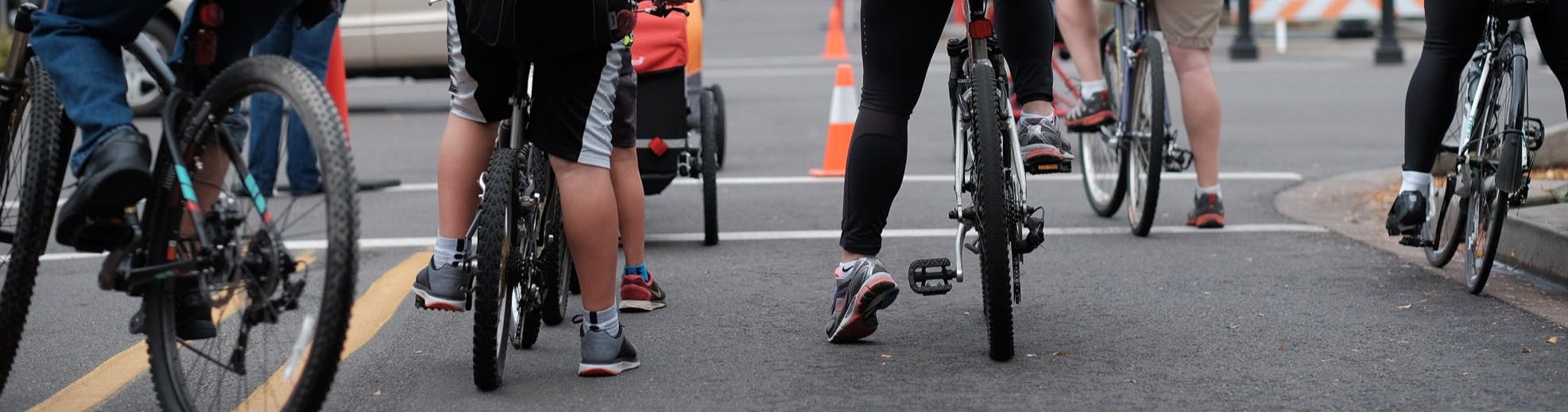
Welcome to the Central Milwaukie Bikeway Connection Community Project Page!
PROJECT BACKGROUND

The Central Milwaukie Land Use and Transportation Plan, adopted in 2015, identified a neighborhood greenway route (that is, a route calm and safe enough for pedestrians and bicyclists of all abilities) connecting the 29th Avenue Neighborhood Greenway to the north with the Monroe Street Greenway to the south. The concept involved three opportunity sites in the central Milwaukie area: the Murphy site, McFarland site, and Clackamas County Housing Authority’s Hillside Manor.
In late 2019, the City applied and received funding through the Oregon Department of Land Conservation and Development (DLCD) Transportation and Growth Management (TGM) Quick Response program to develop a revised concept plan for the bikeway connection. Alta Planning + Design was selected to work on the project, which officially kicked off in August 2020.
The goal is to identify route options and develop planning-level estimates on how much it will cost to build each option. The approach includes discussions with key stakeholders as well as engagement with the public in this community open house to review and discuss the conceptual designs. The final product will be a report that presents a preferred design, to be reviewed by the Planning Commission and adopted by the City Council as an ancillary document to the city’s Transportation System Plan (TSP).
POTENTIAL ROUTE OPTIONS
The three potential bicycle route options illustrated in the following maps travel through Central Milwaukie between the 29th Avenue greenway to the north and the Monroe Street greenway to the south. The survey will include Individual route maps with specific details and design considerations.
*Note that all three route options run through the Hillside development. The future bicycle route will align with the future street design of the Hillside development when it redevelops.*
-
28 ResponsesConsultation has concluded
BRIEF BACKGROUND
The purpose of the CMBC project is to identify a safe and comfortable bicycle connection through Central Milwaukie that is both feasible in the near-term and cost-effective. The bikeway will link the 29th Ave Neighborhood Greenway at the north end of the area with the planned Monroe St Neighborhood Greenway to the south and east.
There is a strong need for a safe bicycle connection through Central Milwaukie. The project area serves as a commercial hub and is a crossroads for several neighborhoods. Furthermore, Central Milwaukie is the gateway between surrounding neighborhoods and the transit hubs located Downtown,Continue reading


Project Timeline
-
TASK 1 - Project Kick-Off
Central Milwaukie Bikeway Connection Project has finished this stageAugust 2020
-
TASK 2 - Existing Conditions Analysis
Central Milwaukie Bikeway Connection Project has finished this stageAugust 2020 - November 2020
Find the Existing Conditions Memo in "Important Links" below!
-
TASK 3 - Concept Design Plan Alternatives
Central Milwaukie Bikeway Connection Project has finished this stageOctober 2020 - December 2020
During this time, the project team came up with 3 options for the north-to-south bicycle connection path.
-
Community Engagement Event #1
Central Milwaukie Bikeway Connection Project has finished this stageJanuary 2021
-
TASK 4 - Project Concept Design Report
Central Milwaukie Bikeway Connection Project has finished this stageJanuary - March 2021
-
Community Engagement Event #2
Central Milwaukie Bikeway Connection Project has finished this stageMarch 1- March 14
Community input on the recommended proposed route.